MP3音檔 (按右鍵可下載聽):
http://online1.tingclass.net/voaspe/…/20140709sa_science.mp3
🎁
🎁 中英文稿:
Want to know where—and when—the next major river flood will hit? Just look up, to the satellites.
想知道下一次河流洪水會在什麼時候什麼地方襲來?只要抬頭向上看,看看衛星所帶來的資料。
Conventional estimates of river volume come from rainfall, of course, and from measurement of the water that seeps from soil and groundwater reserves.
傳統預測河流水量,是根據降雨量,當然還有對土壤和地下水的測量而來。
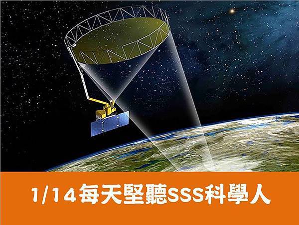
But NASA’s GRACE satellites, for Gravity Recovery and Climate Experiment, can pick up changes in the gravity field in a given river basin. The more water in the basin, the higher the gravity signal.
但是美國國家航空航天局GRACE衛星的重力恢復與氣候實驗,可以觀測出所給流域重力場的變化。這個流域的水越多,重力信號越高。
Scientists used GRACE results from 2003 to 2012 to see if they could have predicted the 500-year flooding event in the Missouri River basin in 2011. Preceding the flood were two significant storms, record snow melt, saturated soils and particularly high groundwater.
科學家們利用GRACE衛星從2003年到2012年所得到的資料,去看看他們是否可以預測出2011年密蘇裡河發生的500年不遇的洪水事件。在這次洪水之前有兩次大的暴風雨,有冰雪融化,土壤中水分飽和,和地下水位很高的記錄。
With GRACE data, the researchers found that they could have predicted the Missouri River floods months before current prediction models. They say that the technique could be used to forecast floods up to 11 months before such events take place in areas where snow melt or groundwater is a significant contribution.
研究人員發現,根據GRACE衛星提供的資料,他們可以在目前這種預測模式的前數月預測到密蘇里河的洪水事件。他們稱這項技術可以,在洪水發生的11個月之前就預測到有融雪和地下水位元高漲的地區的洪水事件。
The research was published in the journal Nature Geoscience. [J.T. Reager, B.F. Thomas and J.S. Famiglietti, River basin flood potential inferred using GRACE gravity observations at several months lead time]
Snow melt and major rain storms are predicted to increase with climate change. Which puts a premium on better flood prediction.
—Cynthia Graber
這項研究被發表在《自然地球科學雜誌上》,融雪和暴雨預計將會加速氣候變化,會有助於洪水的預測。
➟➟➟➟➟➟➟➟➟➟➟➟➟➟➟➟➟➟➟➟➟➟➟➟➟➟


 留言列表
留言列表
